Frankfurt GrünGürtel 68 km Ultralauf Schwanheimer Dünen 17.10.2020

Frankfurt GrünGürtel 68 km Ultralauf Schwanheimer Dünen 17.10.2020
Rückblick von den 68 km langen "Frankfurter GrünGürtel Ultralauf" rund ...

T Shirt Design/CreaVisArt/ Gorilla on weight bench/ Bodybuilder Monkey
This is one of our Print-On-Demand Designs that you can buy in our ...
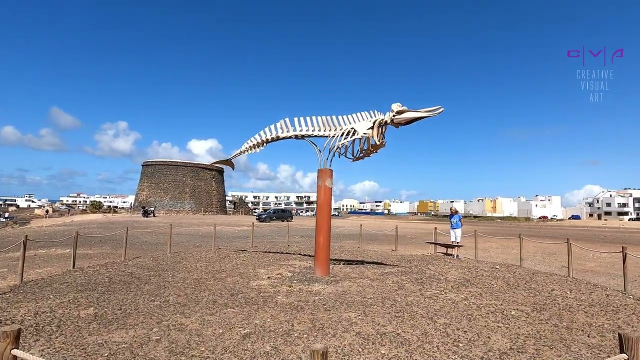
Fuerteventura/ El Cotillo/ Labyrinth/ Montanas de la Blanca/ Surfer Beach Piedra/ City center
Rundwanderung durch die Wüste bei El Cotillo. Auf dem Hinweg geht es ...
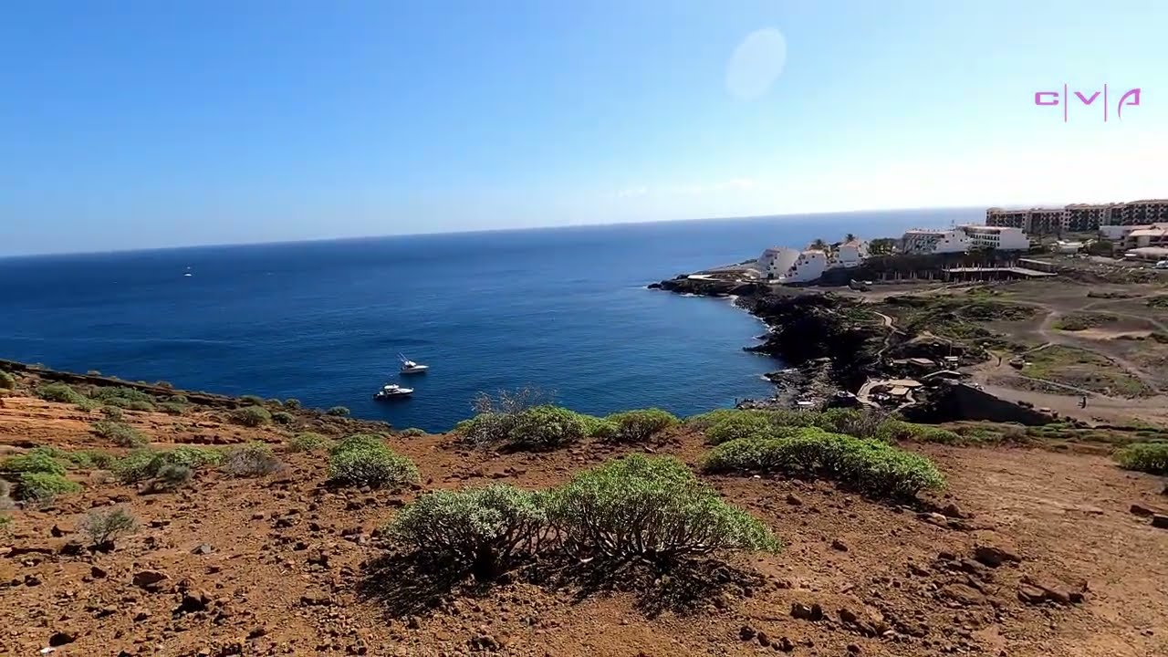
Costa Del Silencio/ Montana Amarilla/ South Tenerife
Spaziergang an der Küste von Costa Del Silencio. Es geht vorbei am ...
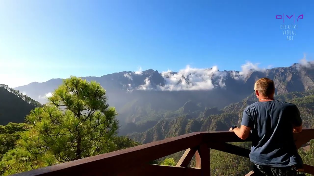
Canary Island La Palma / El Paso/ Mirador de la Cumbrecita
3 Km Rundwanderweg beim "Mirador de la Cumbrecita", El Paso, Insel La ...

Walk through La Palma - Santa Cruz de La Palma
Walk through the city of Santa Cruz de La Palma on the Canary Island ...

Circular Trail - Area Recreativa EL Pilar/ Volcan Llano del Banco/ Island La Palma (17.09.2022)
Small circular trail from the "Area Recreativa EL Pilar" towards ...

Lacrimas Profundere - Trailer (Live in Concert)(Hellraiser Leipzig 17.10.2021)
This is a TRAILER for the "Bleeding the Stars" Tour 2021 of Lacrimas ...

Lacrimas Profundere - Trailer (Live in Concert)(Kulttempel Oberhausen 22.10.2021)
This is a TRAILER for the "Bleeding the Stars" Tour 2021 of Lacrimas ...

Lacrimas Profundere - Trailer (Kulttempel Oberhausen 23.11.2019)
This is a small preview of the complete show of the German dark ...

Lacrimas Profundere -Trailer (Olympiastadion München Live 15.08.2020)
This is a small foretaste of the show that we had filmed from the ...

Guillena - Sevilla, Spain, Embalse del Gergal, Ruta del Aqua, From above (4K)
This is a video of the Embalse del Gergal in Guillena-Sevilla, Spain, ...
1
of 2